Context Map is a revolutionary new tool for Architects and Urban Planners to jumpstart their project work with a suite of geospatial 3D CAD data - providing all real world information about a new site location directly into your favourite design platform.
Every Context Map is generated for a customisable location and extent – readily available for most urban areas in Australia!
Context Maps are available for most urban areas in Australia based on Nearmap data coverage. Select a site or interactively draw your area and make an order. Our service team is available to support you with your selection.
Select Site and Custom Area Size
Choose CAD Format
Instant Quote Generation
Our Context Map Engine processes dozens of data layers from high resolution aerial to 3D imaging to ensure you get the latest data available. All features are geospatially aligned and fused into one native CAD bundle.
Geospatial Data Fusion and Processing
Real World 3D Modelling
Native CAD Generation
Before any context map is finalised, it will go through multiple quality checks that ensure all features are accurate and to the highest standard. Your context map is available for download typically 1-2 business days after ordered.
QA included
Delivered within 1-2 business days
Download CAD Model Package
See what our clients have to say about us
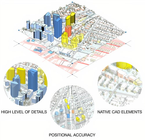
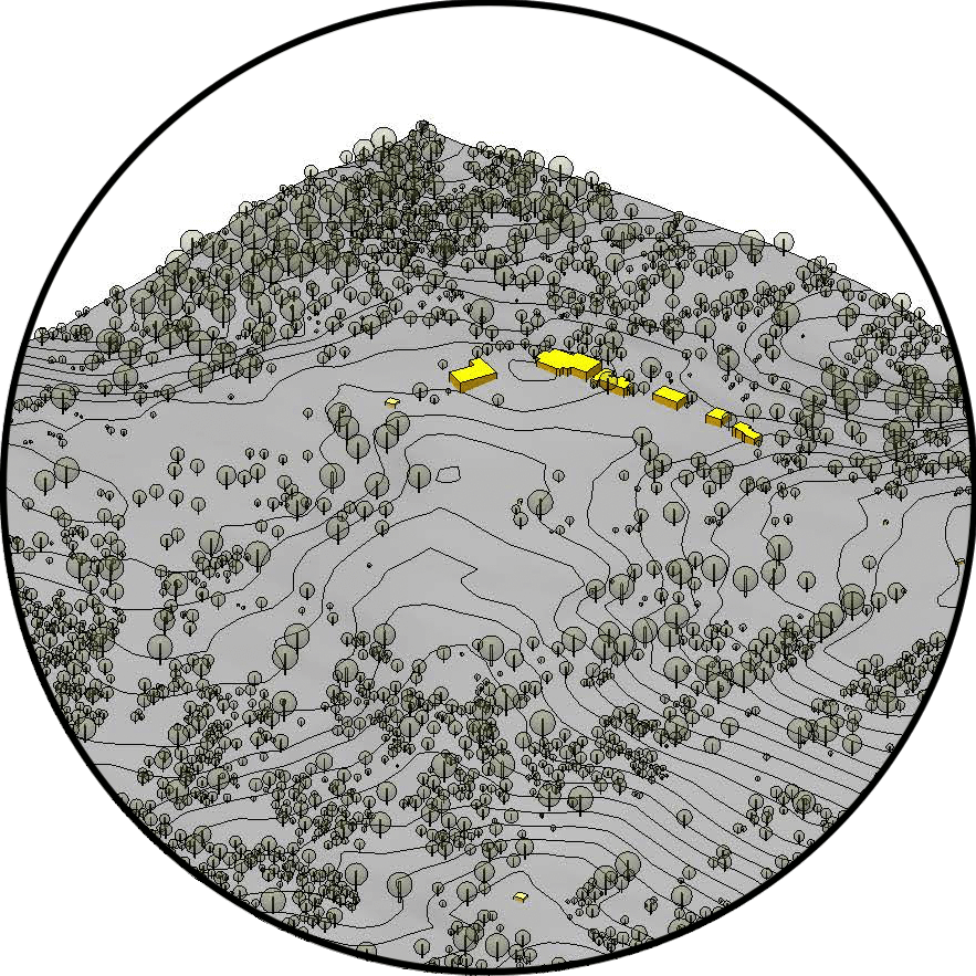
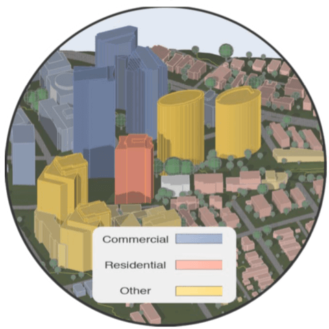
Had good definition, good level of detail, with a good split into sub-categories.” 3D Data “Buildings are good block models, ie no mesh faces.
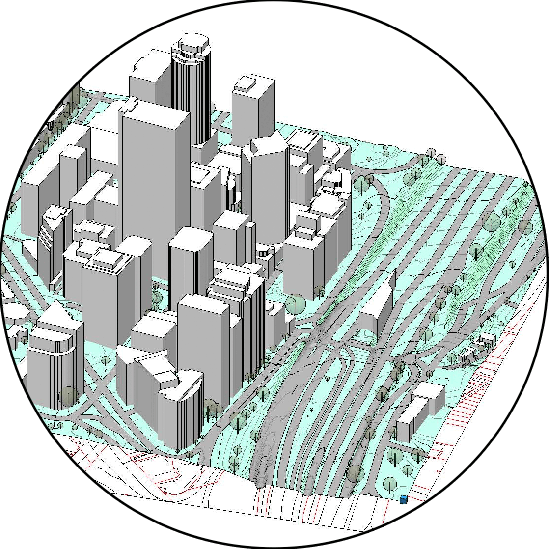
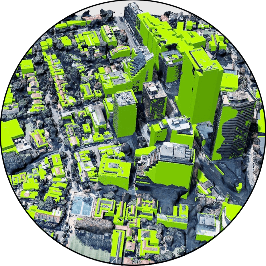
My first thought is that is a very useful tool to quickly get a base to work from. We often spend too much time trying to generate this by hand while still being pretty inaccurate.” “it’s really useful to see a 3d representation of an unknown area so quickly.
This product was able to be supplied to me in native CAD REVIT format, will definitely use again for future projects.
Call 1300 429 205