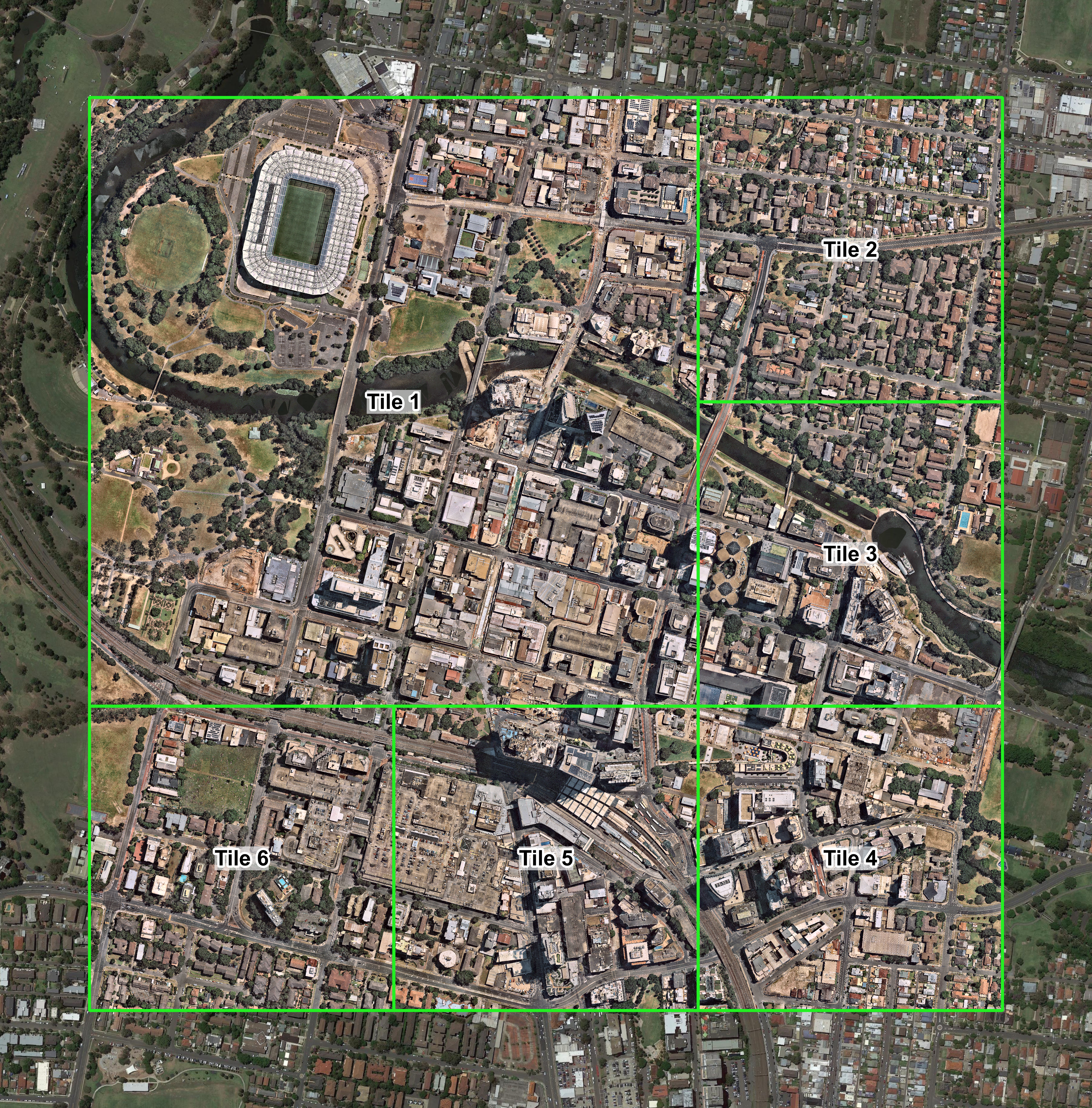
Parramatta CBD Context Map City Project
Our Context Map City products use MetroMap (Aerometrex) to provide instant, accurate and high-resolution aerial data and maps.
Choose your site location and size – readily available for most urban areas in Australia!
- Metromap DSM and True Ortho API
- Instant & No Subscription
- Georeferenced
- Customisable location and size
- Unlimited Applications
%20(1).png?width=1643&height=951&name=T1%20(1)%20(1).png)
.png?width=1596&height=1030&name=T1%20(2).png)
.png?width=1900&height=1054&name=Merged%20(1).png)

CAD Ready
Importable for ArchiCAD, Revit and Rhino. Other CAD platforms are available on request.
Backed By Government
Accelerating Commercialisation AUSIndustry Programme
National Coverage
For 90% of Urban Areas in Australia across All States and Territories
