


Backed By Government
Accelerating Commercialisation AUSIndustry Programme

National Coverage
For 90% of Urban Areas in Australia across All States and Territories
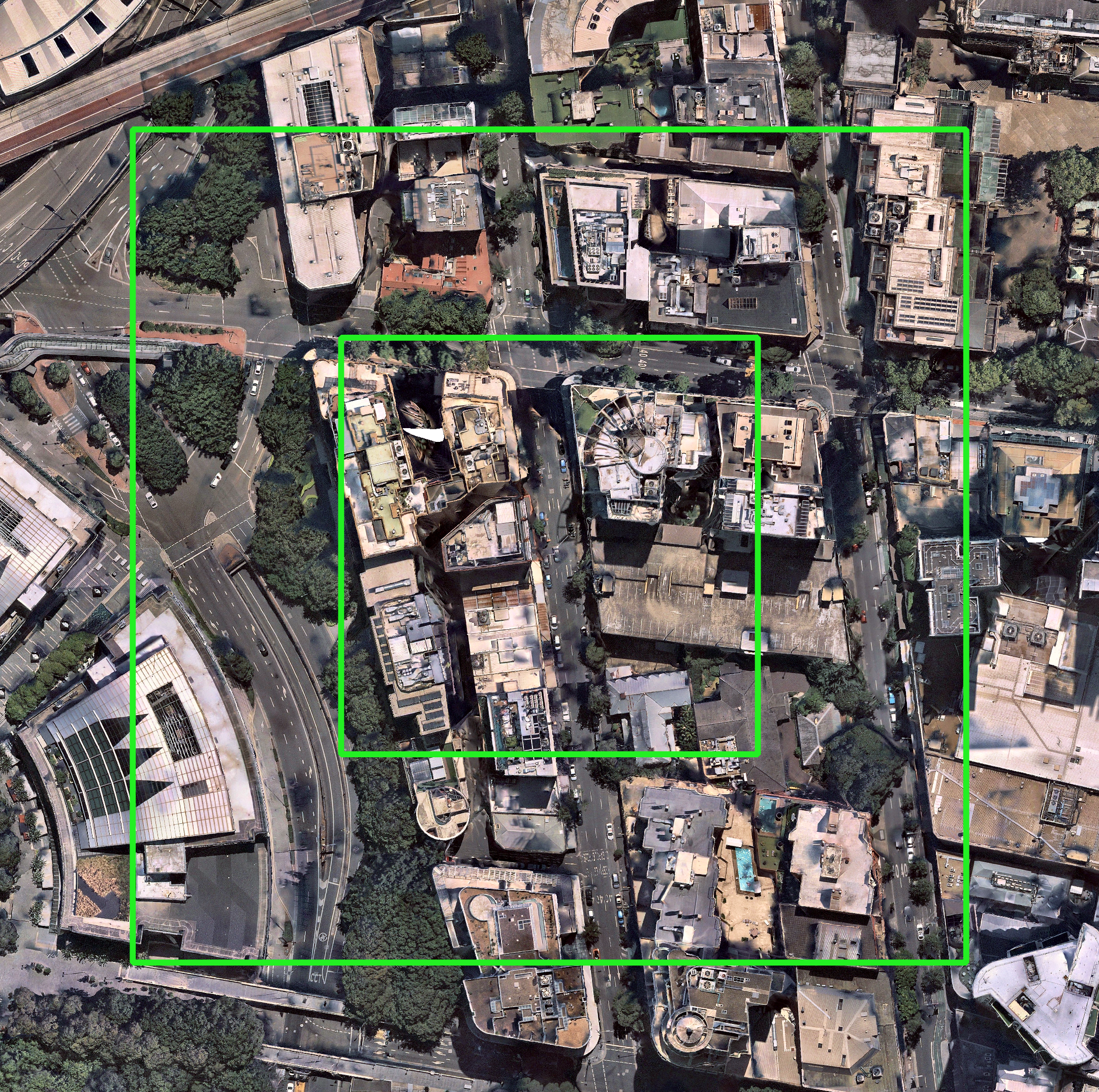
Site Analysis Features
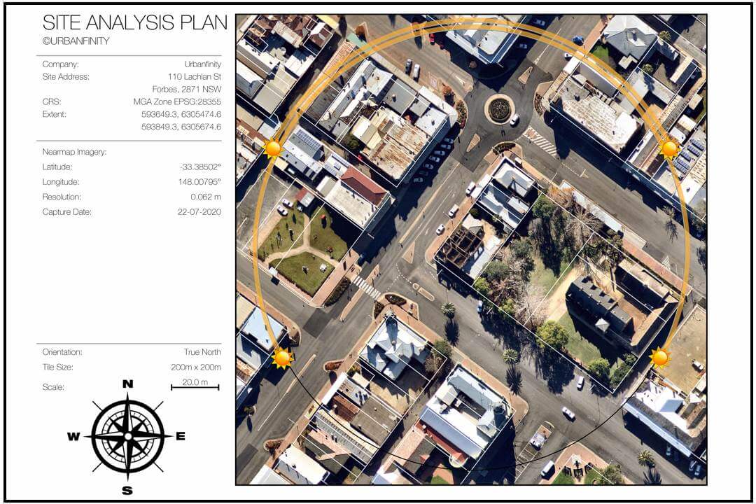
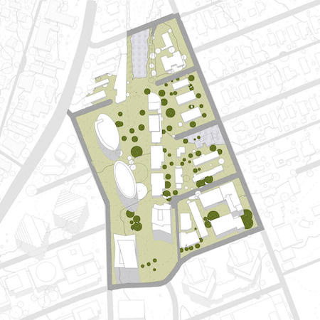
Site Plan
• Detailed View of
Real-World Context
• Sun Swepth Paths for Solar + Shading Analysis
• Referenced by Exact Date and Geolocation
• Cadastral Boundaries including DXF files (Now available)
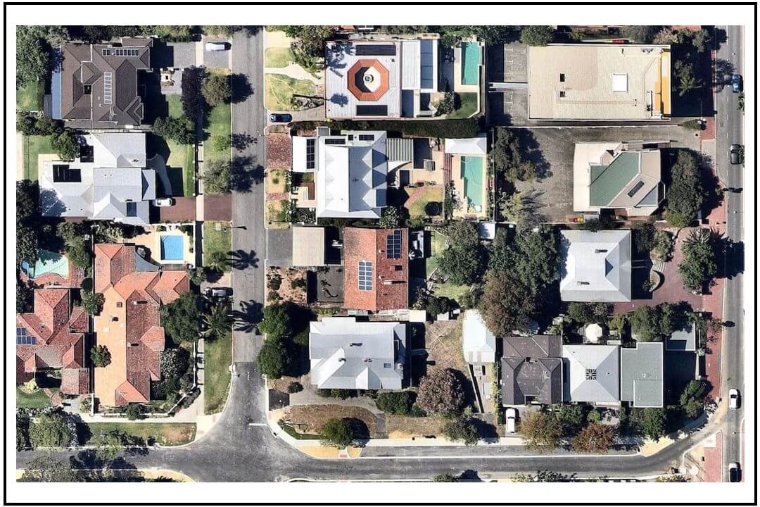
High Fidelity Imagery
• Reliable High Resolution
(5 to 7cm)
• Frequently Updated by MetroMap
(typically 2 to 6 months)
• Ultra Clarity and Uniform Ortho-rectified Scale for High Fidelity Measurements
• Geo-tiff Format for
Universal CAD/GIS Import
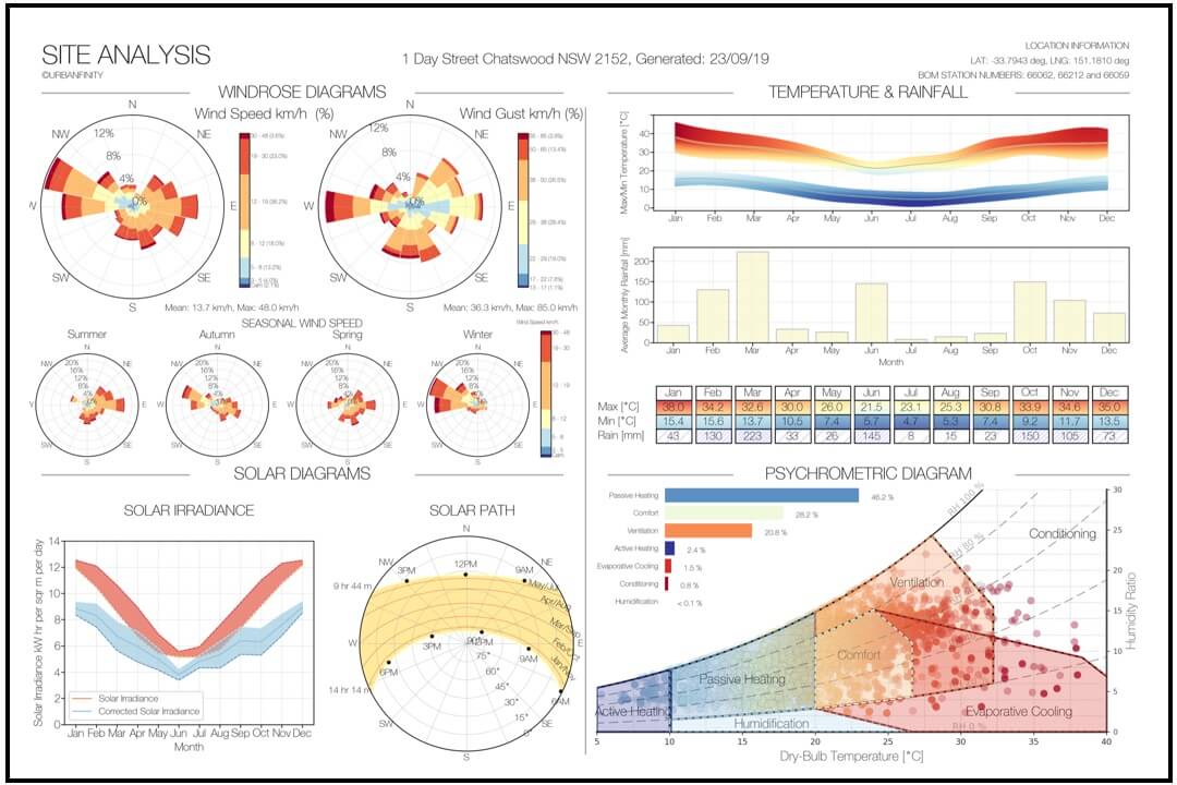
Terrain & Topography
• Solar Analysis incl. Solar Paths, Irradiance, and Cloud Cover
• Windrose Speed + Gust
• Temperature + Rainfall
• Psychrometric Analysis for Comfort Design Strategies
Affordable Project Based Pricing
$50 + GST
Up to 125m x 125m Tile Size
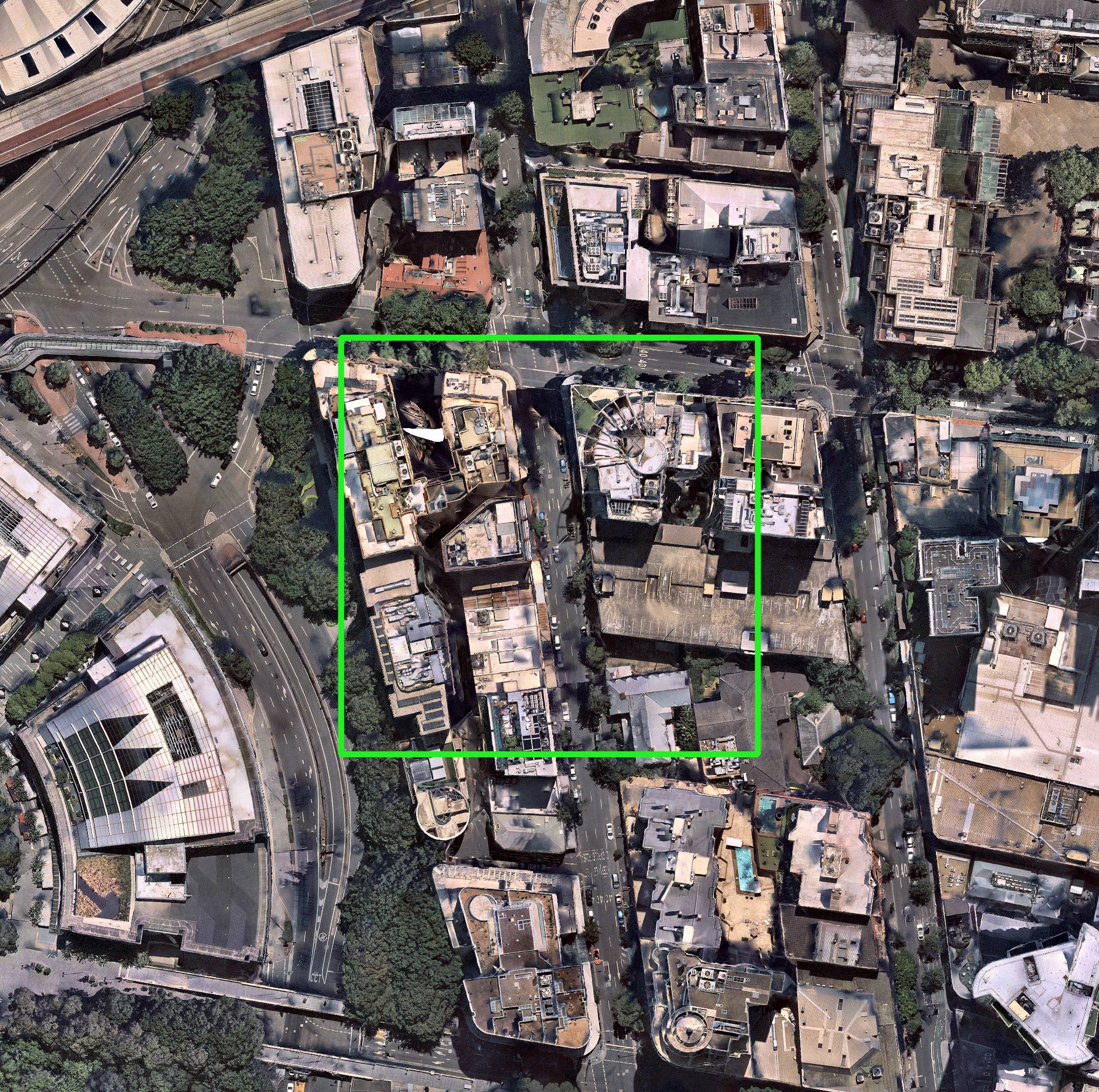
Up to 500m
Price will vary depending on Tile Size
Industries
From architecture to landscaping to solar roofs, Site Analysis power today's industry and community to bring accurate and real world insight to your project.
Architecture & Engineering
Jumpstart your project design with the latest aerial measurements and geo-referenced tiles as CAD layers. Leverage climate analysis to guide your design strategies and Site Analysis Plans.
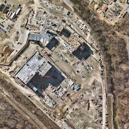
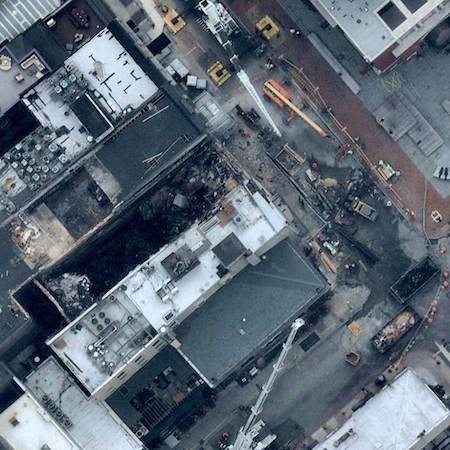
Construction & Safety
Anticipate safety equipment needs, estimate material requirements, plan vehicle access points, and determine crane clearance requirements.
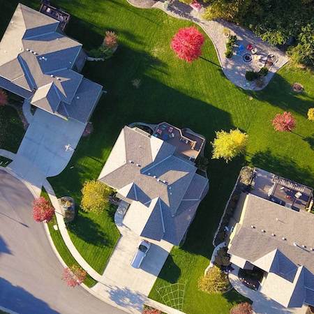
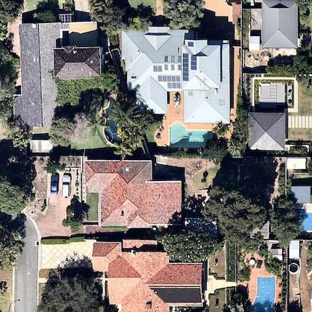
Property & Real Estate
Verify and measure property details in real time, and add value with clear, beautiful imagery that accurately reflects the current state of the site.
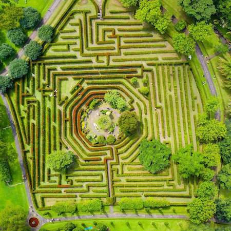
Landscaping & Gardening
Use high resolution, up-to-date aerial imagery to measure areas, and climate requirements to communicate your ideas with your team or clients.
Roof & Solar
Inspect roof conditions, shading, and solar irradiance, develop breath-taking proposals, and anticipate safety and roof access needs.
Risk & Insurance
Verify property details remotely to resolve inquiries, use historical imagery with clear aerial photos referenced by exact date and geolocation.