Find Your Solution
.png?width=1057&height=496&name=blue%20Chatswood%20CBD2%20colour%20adjusted%20(2).png)
Context Maps
Context Maps are a customisable tool to jumpstart project work, by generating a suite of geospatial 3D CAD data on any main design platform.
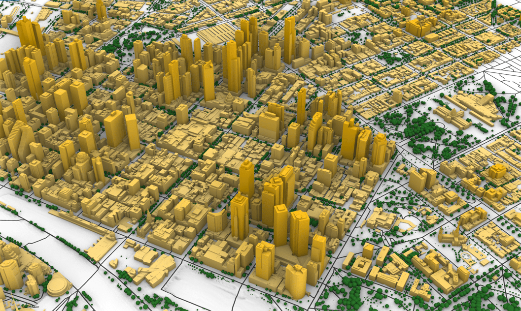
Context Map City
Any major city in Australia or the USA can be generated into detailed 3D CAD models as a basis for your project.
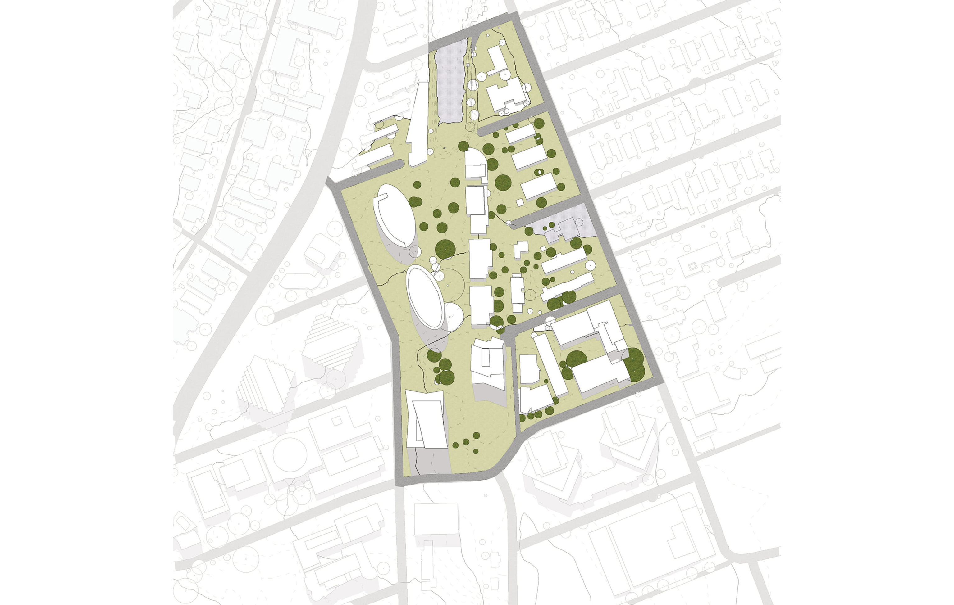
Site Analysis
We provide high fidelity plans, aerial imagery and climate analysis based on up-to-date and geo-referenced data
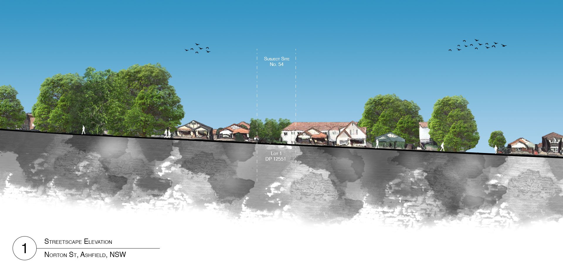
Streetscape Elevations
With both artistic and professional renderings, out streetscape elevations are high quality depictions of your project location.
