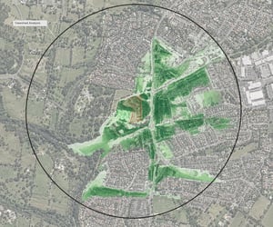
Step 1
Establish the Site and Development
First, the project site, terrain and key development components are defined. This may include the proposed building envelope, upper levels, roof structures, towers or other elements being assessed.
Step 2
Build the Spatial Model
Relevant terrain, topographic and surrounding context data are incorporated into the GIS model. Where required, assumptions around existing buildings, vegetation, observer height and screening are also established.
Step 3
Identify Key Viewing Locations
Potential observer locations are selected based on the planning context. These may include surrounding roads, public spaces, reserves, lookouts, waterways, neighbouring streets and other relevant viewpoints.
Step 4
Model Visibility
The analysis tests potential lines of sight between the selected observer locations and the proposed development. It determines where the development may be visible and where terrain or other modeled features could restrict views.
Step 5
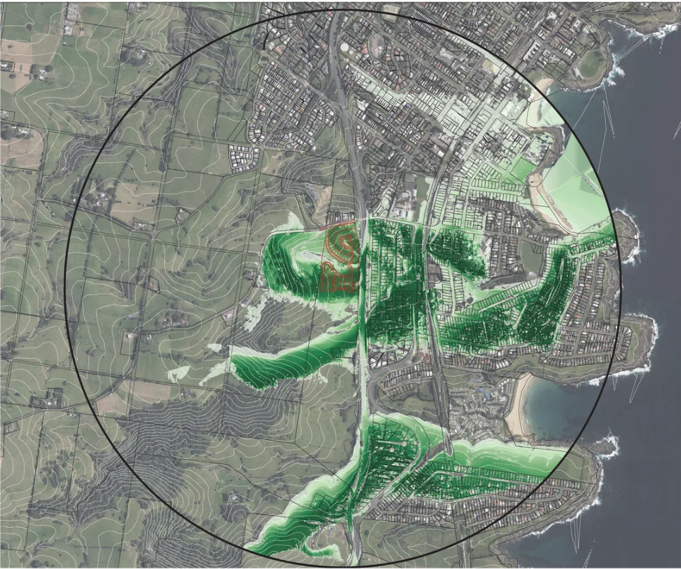
Present the Results
The findings are presented through visibility maps, viewpoint analysis and documented modelling assumptions. These outputs provide a clear picture of the proposal's potential visual exposure and can help identify where further assessment may be required.
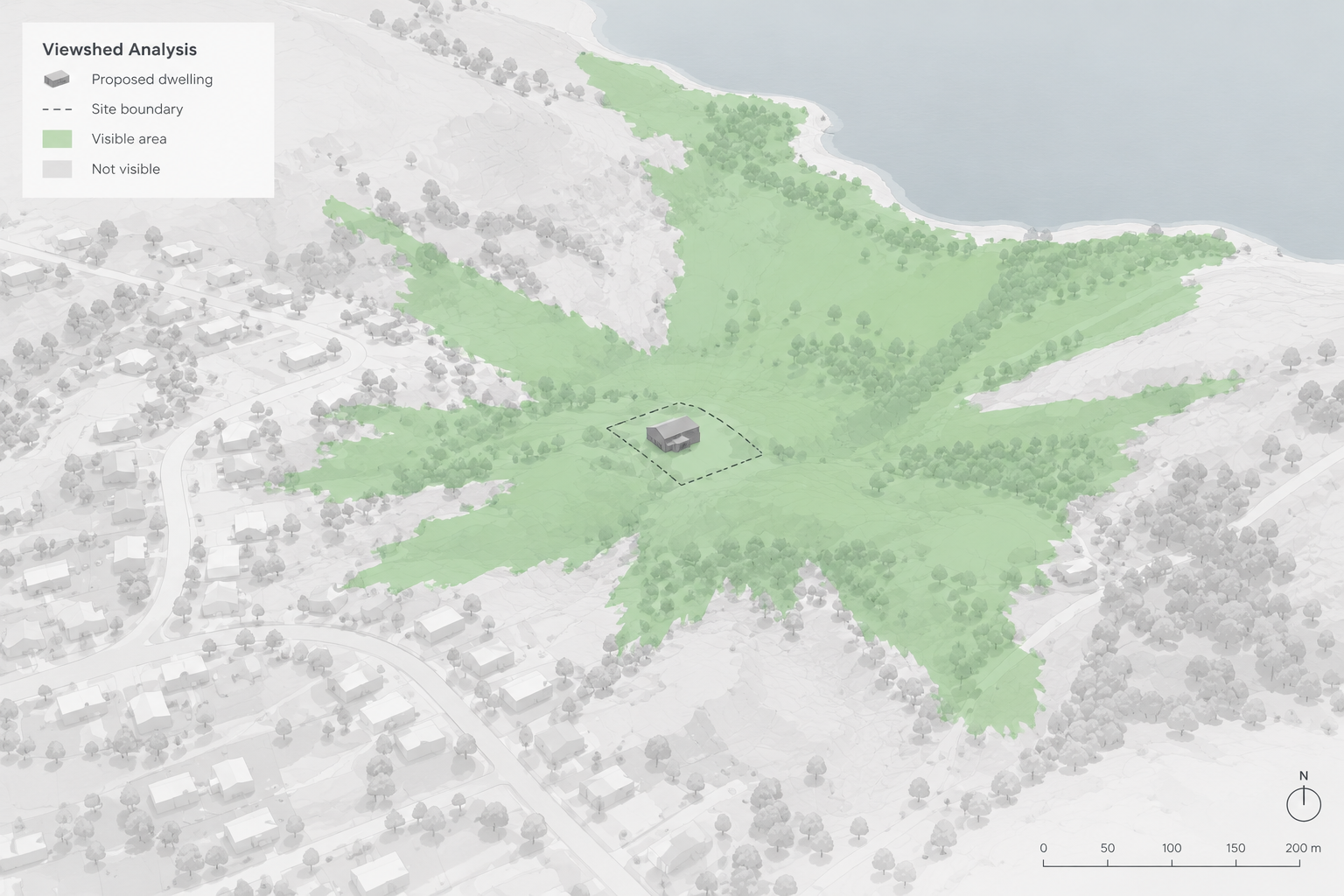
Why is Visibility an Important Consideration?
What Influences Visibility
- Terrain: Hills, ridgelines, valleys and slopes can either block or increase visibility.
- Observer locations: Roads, reserves, walking tracks, waterways, public spaces and surrounding properties may provide views toward the development.
- Landscape openness: Open rural, coastal and undeveloped areas generally allow views over greater distances than dense urban areas.
Surrounding Context
Existing buildings, structures and vegetation can screen or partially obscure a proposed development. The surrounding urban form, landscape character and available screening are therefore considered when assessing potential visibility.
What May Be Visible
Visibility may be limited to certain parts of a development, such as roof forms, upper storeys, rooftop plant or other elevated elements. The analysis considers these elements alongside terrain, existing development and vegetation to identify where the proposal may be visible across the surrounding area.