Skip to content

Shadow Diagrams

For Council and Urban Planning Solutions

Why Shadow Diagrams?

Shadow diagrams are a planning submission requirement that provide a visual representation of the shadow cast by a proposed development throughout the day and across relevant times of the year.

The accompanying shadow analysis identifies and assesses potential impacts on shadow-sensitive areas, including public spaces, communal open space and amenity areas, traditional and arterial main streets, and private outdoor residential amenity areas. Where potential impacts are identified, the analysis also considers appropriate measures to mitigate these impacts.

The shadow diagrams form part of the overall planning assessment process and assist in determining whether the proposed development maintains an appropriate level of amenity for surrounding properties and affected areas.

Contact Us

service@urbanfinity.com.au or 1300 429 205


What Is Included in a Shadow Diagram Package?
A professional shadow diagram package clearly documents existing and proposed cast shadows, supporting planning submissions, design coordination and development assessment.
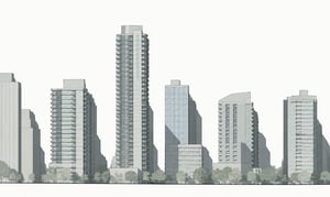
Elevation Shadow Diagram
Elevation Shadow Diagrams

Elevation shadow diagrams show how a building’s shadows extend across vertical surfaces and neighbouring structures, illustrating the height, extent and impact of overshadowing from an elevation viewpoint.
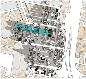
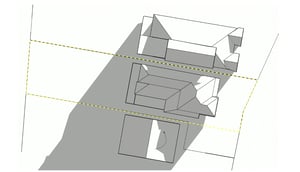
Birds Eye View Shadow Diagram
Proposed Shadow DiagramsIllustrate shadows cast by the proposed building, extension or altered built form under the nominated assessment conditions.
Site Plan
Site and Neighbour Context

Includes sufficient surrounding context to show how cast shadows extend across adjoining buildings, land, streets and open space.

Urbanfinity provides detailed shadow diagrams tailored to the requirements of a range of professionals, projects and planning circumstances.

Professionals:

  • Architects

  • Landscape Architects

  • Building Design Practitioners

  • Drafting Practitioners 

  • Strata and Property Owners


Specialised Applications:

  • Neighbour Disputes

  • Foliage & Tree Shadows


Shadow Diagram


Bird Eye Shadow Diagram

An overhead view of the site and surrounding properties, clearly illustrating the extent and direction of shadows cast by existing or proposed buildings at key times of day and year.
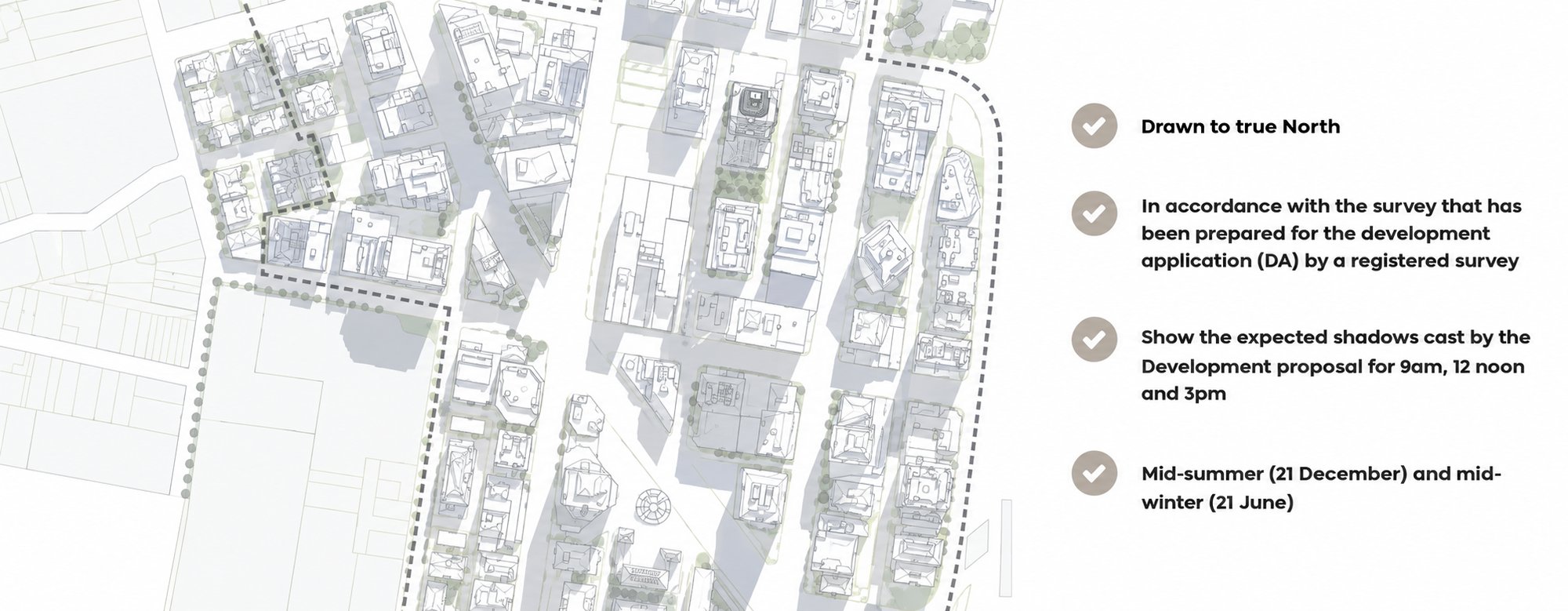
Bird Eye Shadow Diagram Infographic

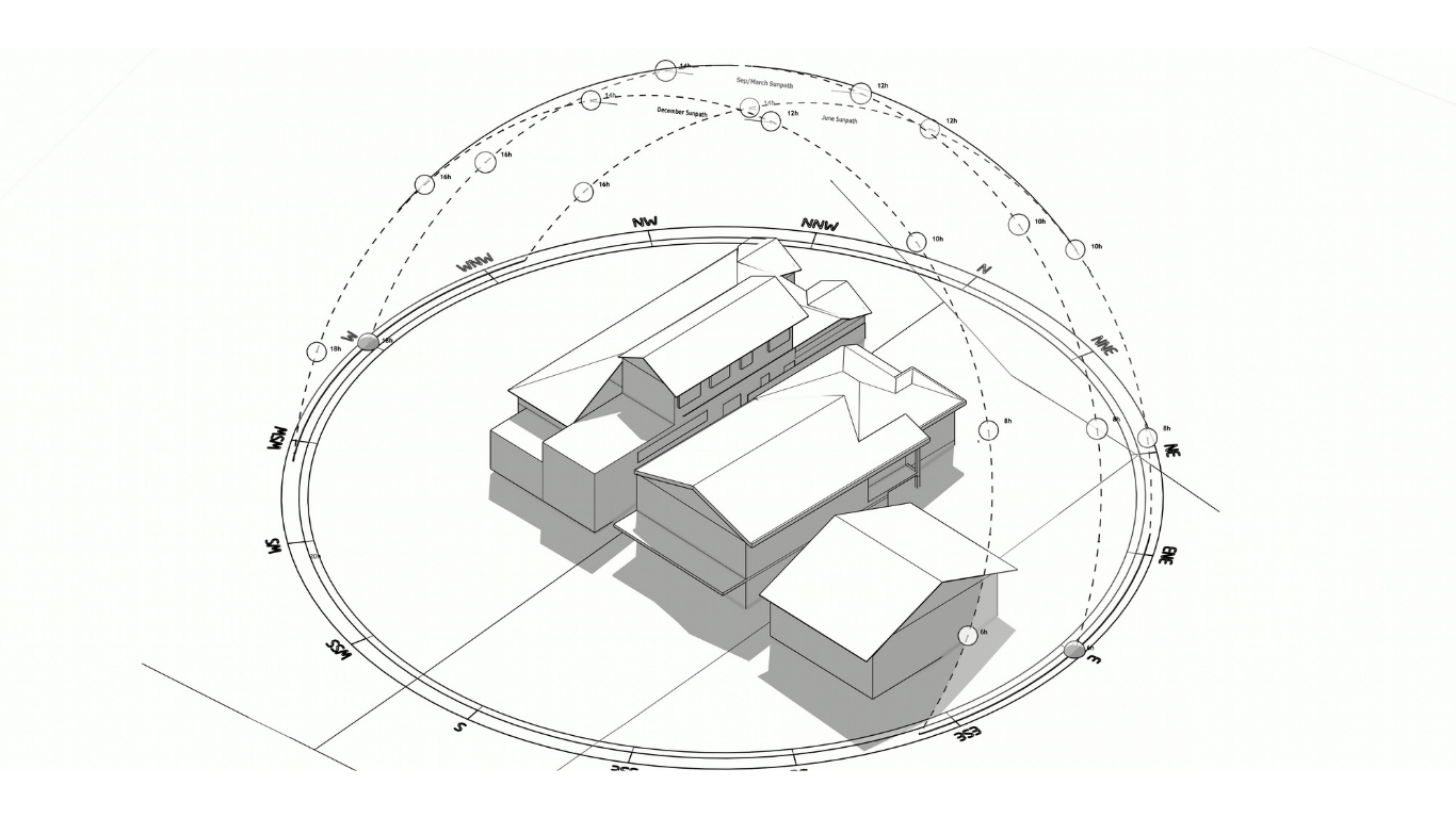
Sun-Path Diagram

Sun-path diagrams illustrate the position and movement of the sun throughout the day and across the seasons, helping to determine the direction, extent and duration of shadows cast by existing and proposed buildings.
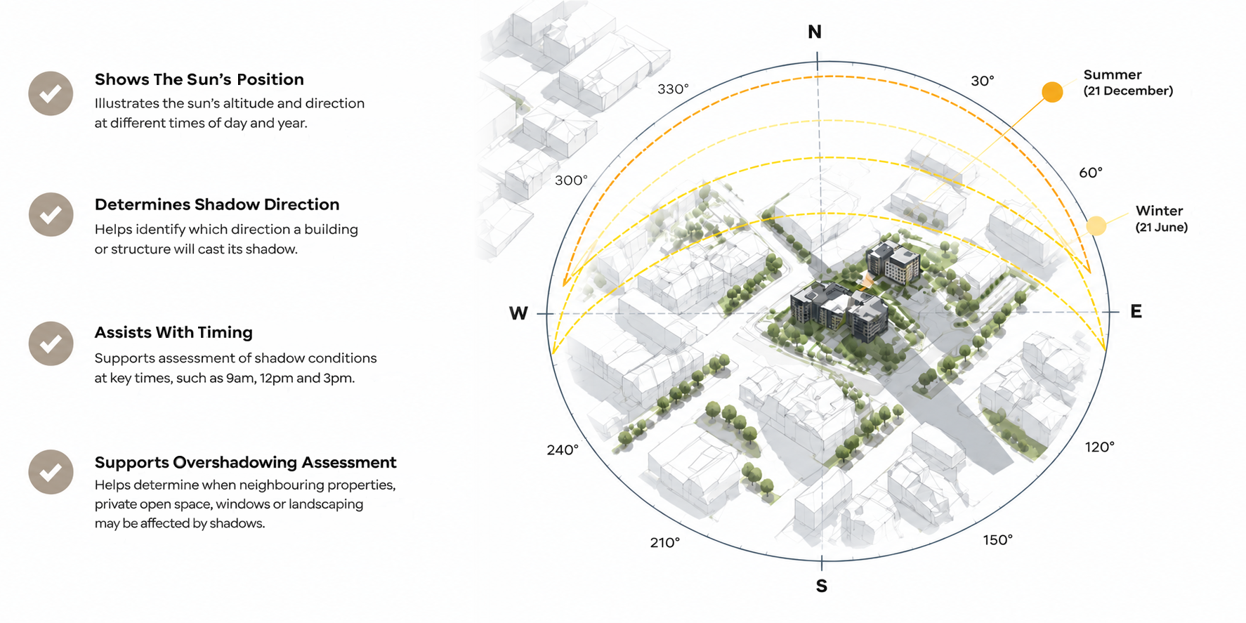
Sun-Path Diagram Infographic

Foliage Shadow

Foliage shadow diagrams clearly illustrate how existing and proposed trees may affect sunlight and overshadowing across a site and its surrounding properties.
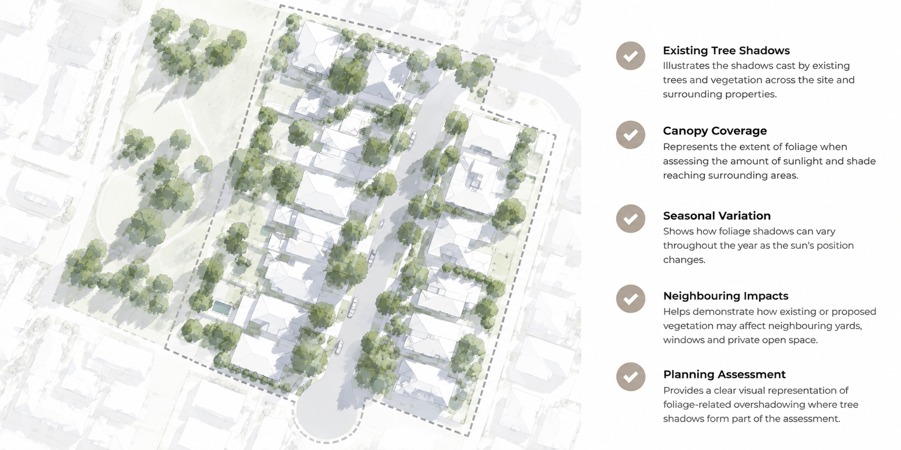
Foliage Shadow Infographic

Daily Life Impacts

Sunlight and shadows influence how people use and experience open spaces throughout the day and across the year, with their effects varying depending on the season. Sunlight can encourage outdoor activity, support vegetation, and enhance architectural features such as stained-glass windows and intricate details on heritage structures.

Conversely, shadows can influence the growth, health and sustainability of vegetation and natural features, as well as affect the visibility and architectural significance of built features.

Compliance

A shadow study can be undertaken to identify when and to what extent a particular structure will cast shadows over another. It can also be used to assess the extent to which a proposed adjacent building may overshadow an existing building or surrounding property.

Sunlight Response

By understanding in detail how your project responds to sunlight, you can:

  • Improve operational efficiency and occupant comfort.nd excessive show.
  • Avoid or mitigate adverse or potentially hazardous conditions, such as glare and excessive show.
  • Optimise design strategies for solar polar generation.


Better Design Outcomes

Supports architects and interior designers in creating more sustainable designs and green architecture by simulating and assessing daylight availability and the impact of sunlight on a project.

Our Clients Love Us

See what our clients have to say about us.

Had good definition, good level of detail, with a good split into sub-categories.” 3D Data “Buildings are good block models, ie no mesh faces.

Anthony BowdenBIM Manager of SMART DESIGN STUDIO
My first thought is that is a very useful tool to quickly get a base to work from. We often spend too much time trying to generate this by hand while still being pretty inaccurate.” “it’s really useful to see a 3d representation of an unknown area so quickly.
Rido PinDirector of Plus Architecture
This product was able to be supplied to me in native CAD REVIT format, will definitely use again for future projects.
Blake ThompsonThrum Architects